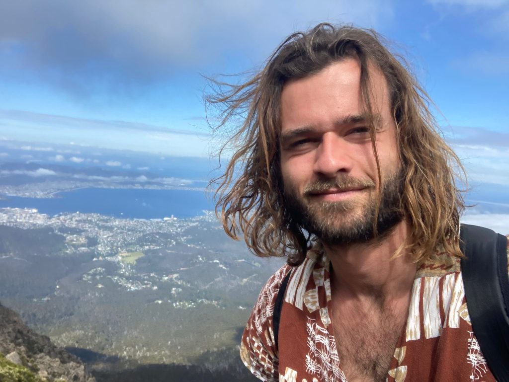
On 20 August, I walked on one of the most dangerous islands in the world! Fraser Island, 4 days of immersion in the heart of the jungle between lakes and dingos.
Definition: SMALL CHIENS ALL MIGNONS WHO WANT TO BUTTLE YOU ⁇
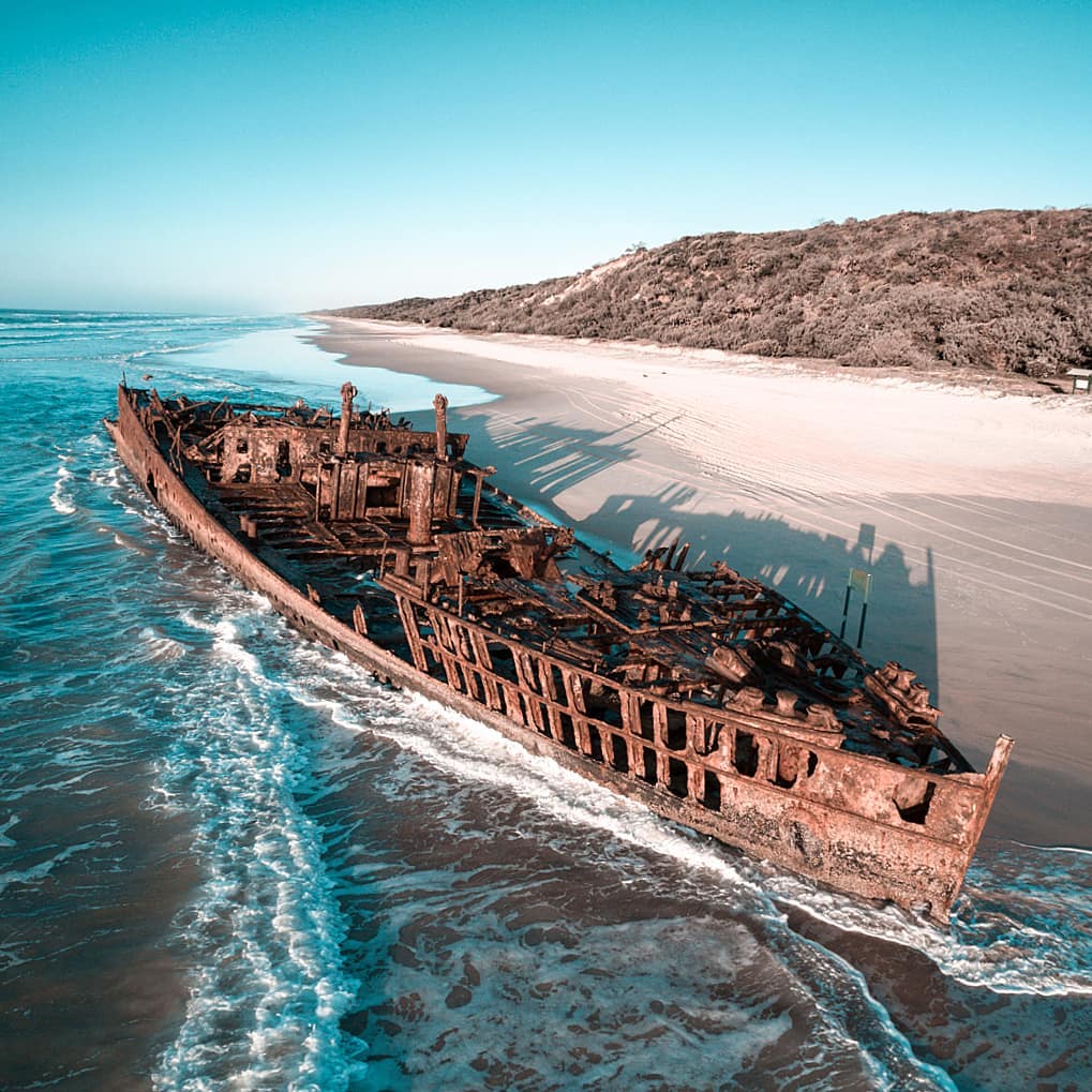
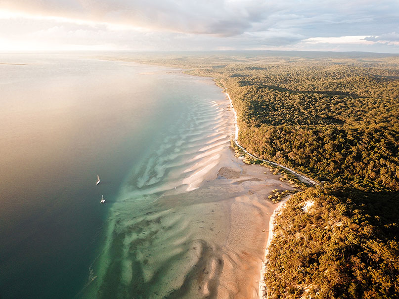
While I am on my way to explore Northern Queensland, I stop on this small paradise island, and very wild. The largest sand island in the world.
A bit of history...
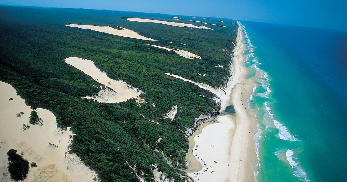
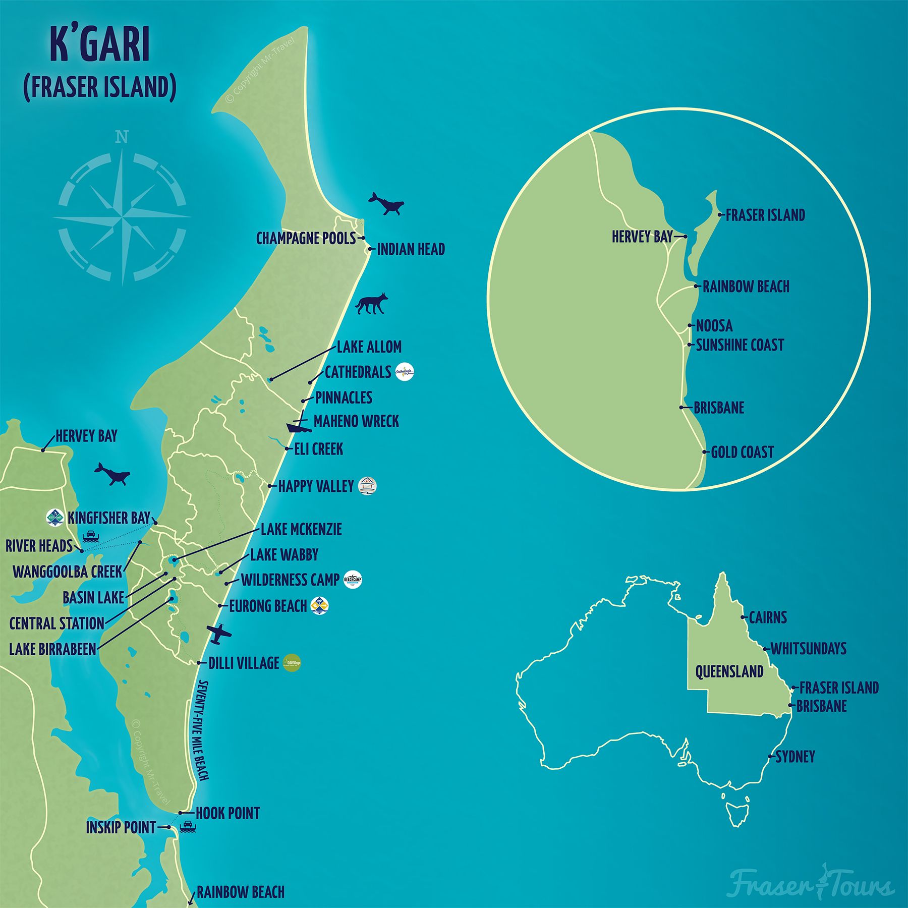
Fraser Island East the largest sand island in the world. It is 123km long and 22km wide. It is located 300km north of Brisbane and 15km off the coasts of Hervey Bay and Maryborough. The island was originally occupied by the people Butchulla, which means in Aboriginal, the People of the Sea ". . . Fraser Island was named K’Gari in Aboriginal language, which means paradise ". . . There are many legends about the island and its creation.
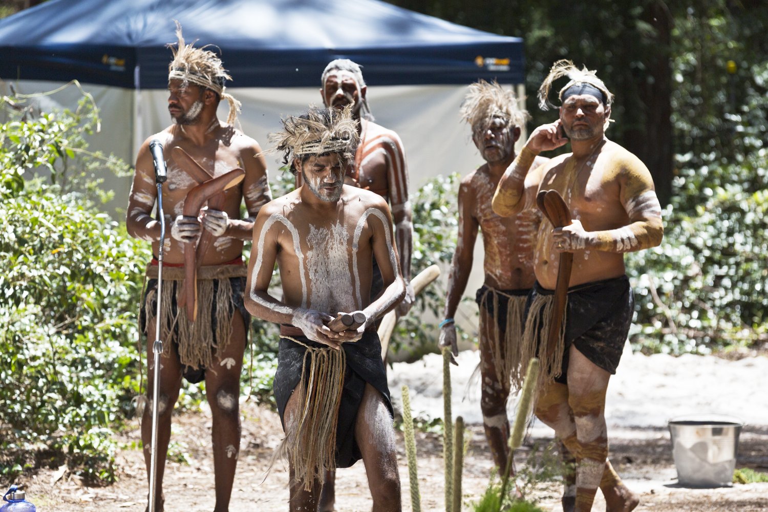
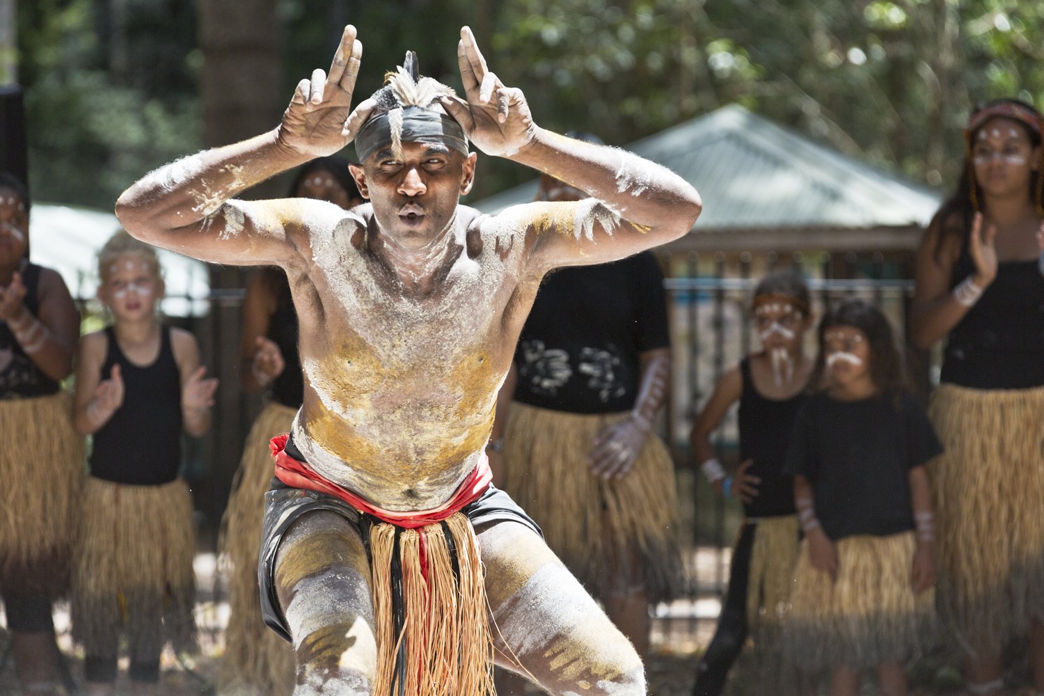
Find out more about the Butchulla people: https://www.bac-kgari.org/people-and-country
The island has been discovered in 1770 by James Cook. However, it is only by 1836 that Captain Fraser, his wife and crew washed up on a reef off the island. Many died, including Captain Fraser after he was captured and tortured by the Butchulla. The island should be named after his wife. Elisa Fraser. Several weeks after being captured, she was rescued and sent back to England. She told her story to everyone who wanted to hear her and the island would have taken the name Fraser, probably influenced by the press.
In June 2023, Fraser Island reverts to its native name and is officially renamed K’gari.
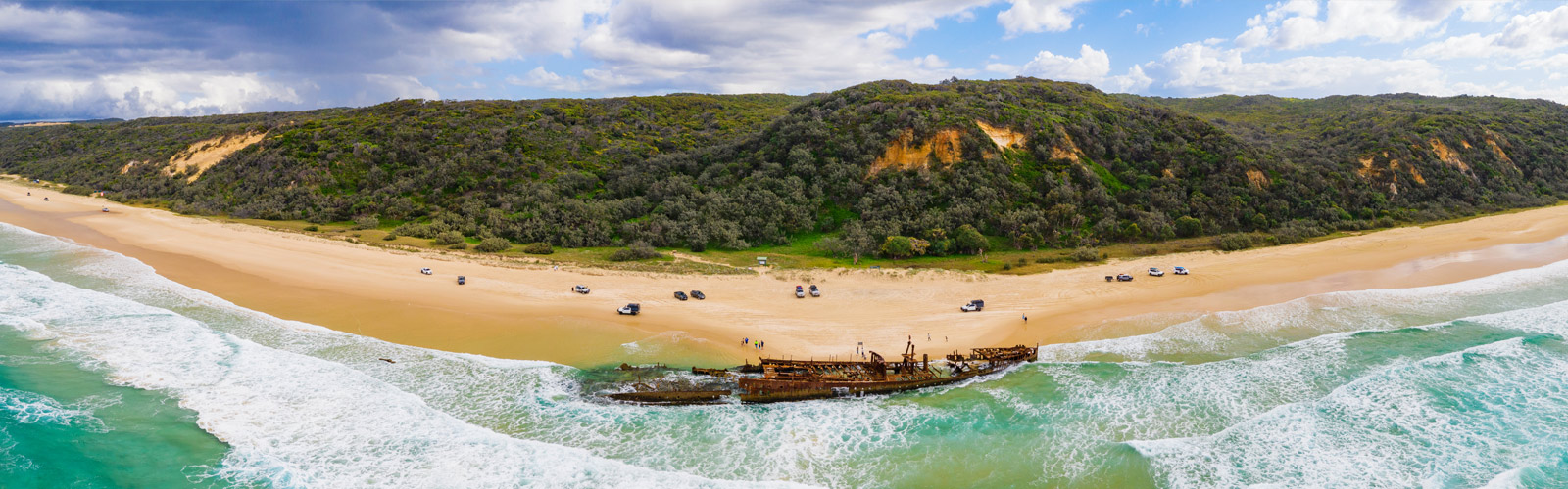
A look back at my trip ⁇ ⁇ ⁇ ⁇ ⁇ ⁇ ⁇ ⁇ ⁇ ⁇ ⁇ ⁇ ⁇ ⁇ ⁇ ⁇ ⁇ ⁇ ⁇ ⁇ ⁇ ⁇ ⁇ ⁇ ⁇ ⁇ ⁇ ⁇
Very excited to visit this island, the opportunity lends itself to this moment of my trip where I explore Queensland, going up the east coast. More than 10 years ago, my brother Yoan settled there for a few months (See the beautiful kid on this article). The opportunity for me to walk in his footsteps and immerse myself in a common, albeit very different, adventure.
Immersion will take place at 100% ! I do not want tours organised with a guide, or to pay a day at $200 to visit places that are certainly emblematic of the island. For me it will be backpack and tent.
Let’s go for an immersion of 4 days of walking, 61.2 kms travelled, through forests and lakes of all kinds.
In my bag:
- My tent and my down,
- What to write everything you read now ⁇
- Food and water because there is no drinking water at the sites visited;
- My solar panel to charge my phone,
- A good big walking stick to protect me from Dingos.
Ding ding ding DINGO Did you say? But who are they?
They zeal you and are never far away, here you are at home!
The dingos, emblems of Australian fauna, are canids (of the family of wolves, jackals and foxes...) savages mainly present in Australia. They are genetically very close to the dog, in the wild, whose behaviour is similar to that of wolves, especially in their hunting temperament.

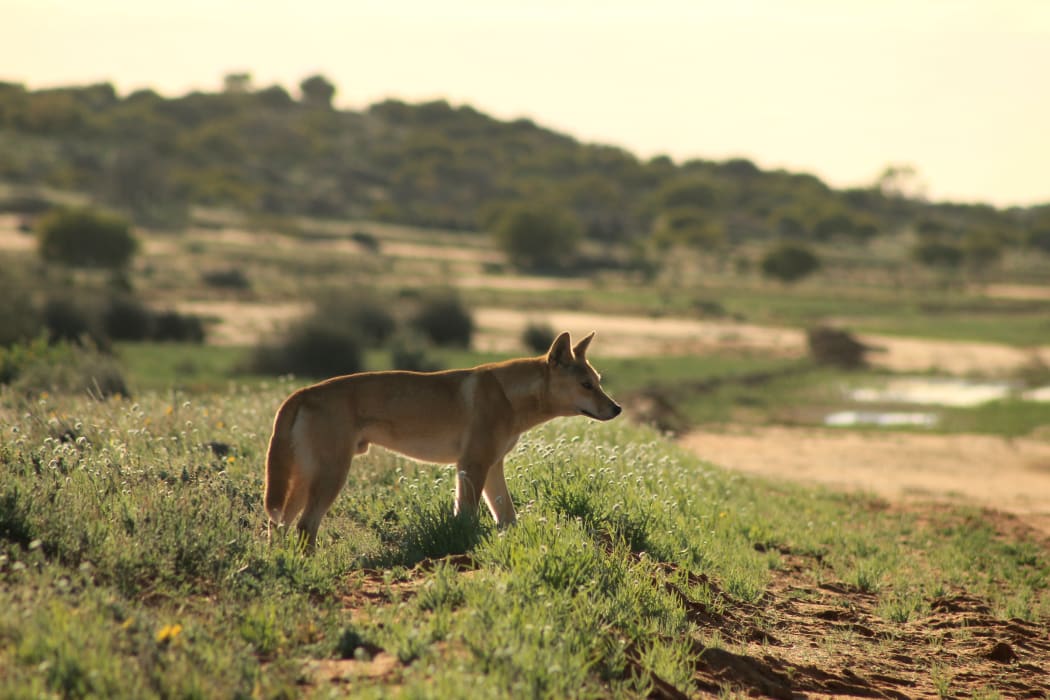
These animals that fascinate so much also raise concerns especially when they are in contact with humans. Look at:
Interested in this strange animal? Read this: https://www.australie-guidebackpackers.com/dingo-australie/
DAY 1 – 22.2km: From Kingfisher Bay to Bassin Lake.
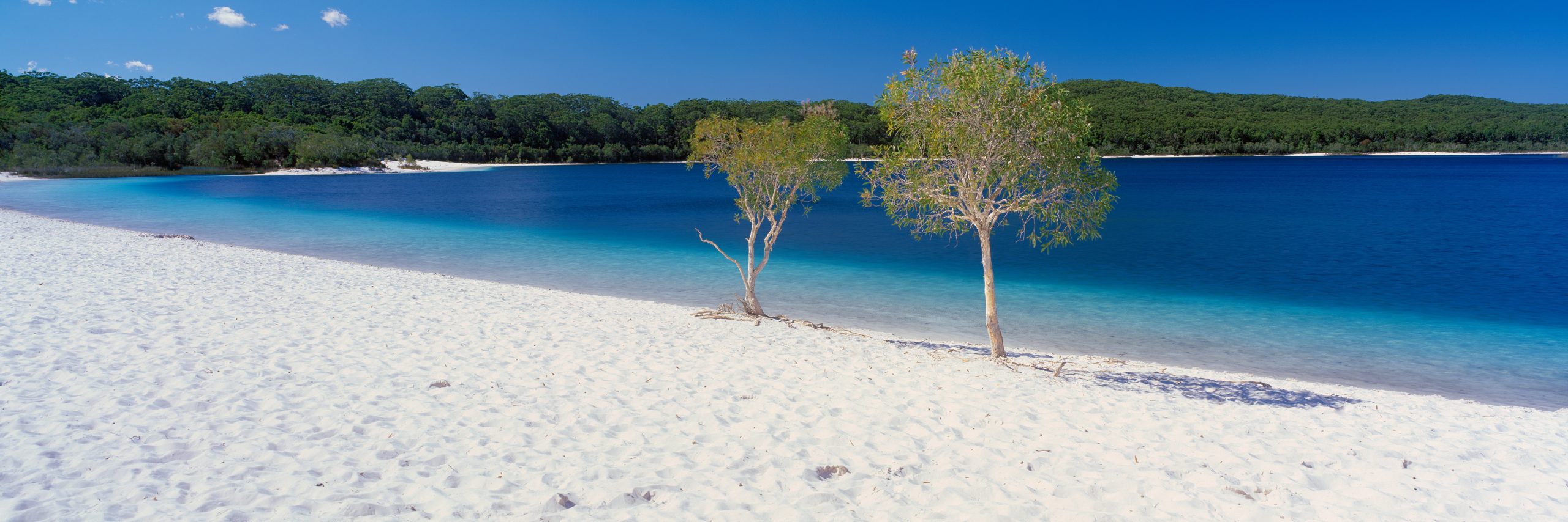
Camp in Lake McKenzie
Although I was advised not to walk alone on Fraser, I was forced to rent a 4X4 or a bus ticket for a ride. Worse, the tourist offices were unable to give me the distances between each destination. I've already arrived in 2 hours at the first lake. Breathtaking blue.
First night of camping in a pitch protected by wire mesh to prevent the intrusion of any wild animals that would like to fill their stomachs (dingos, goannas and werewolves, etc.).
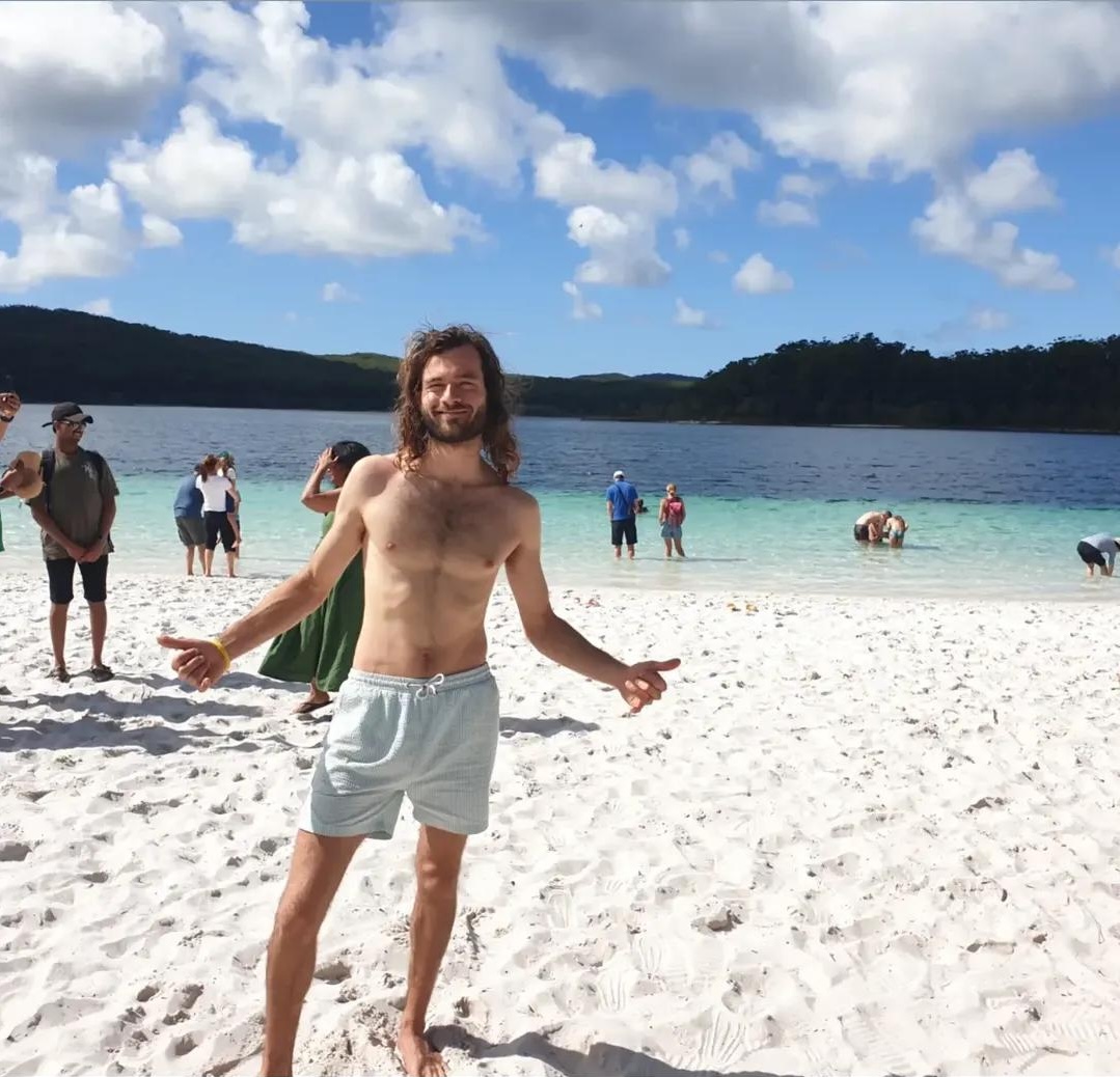
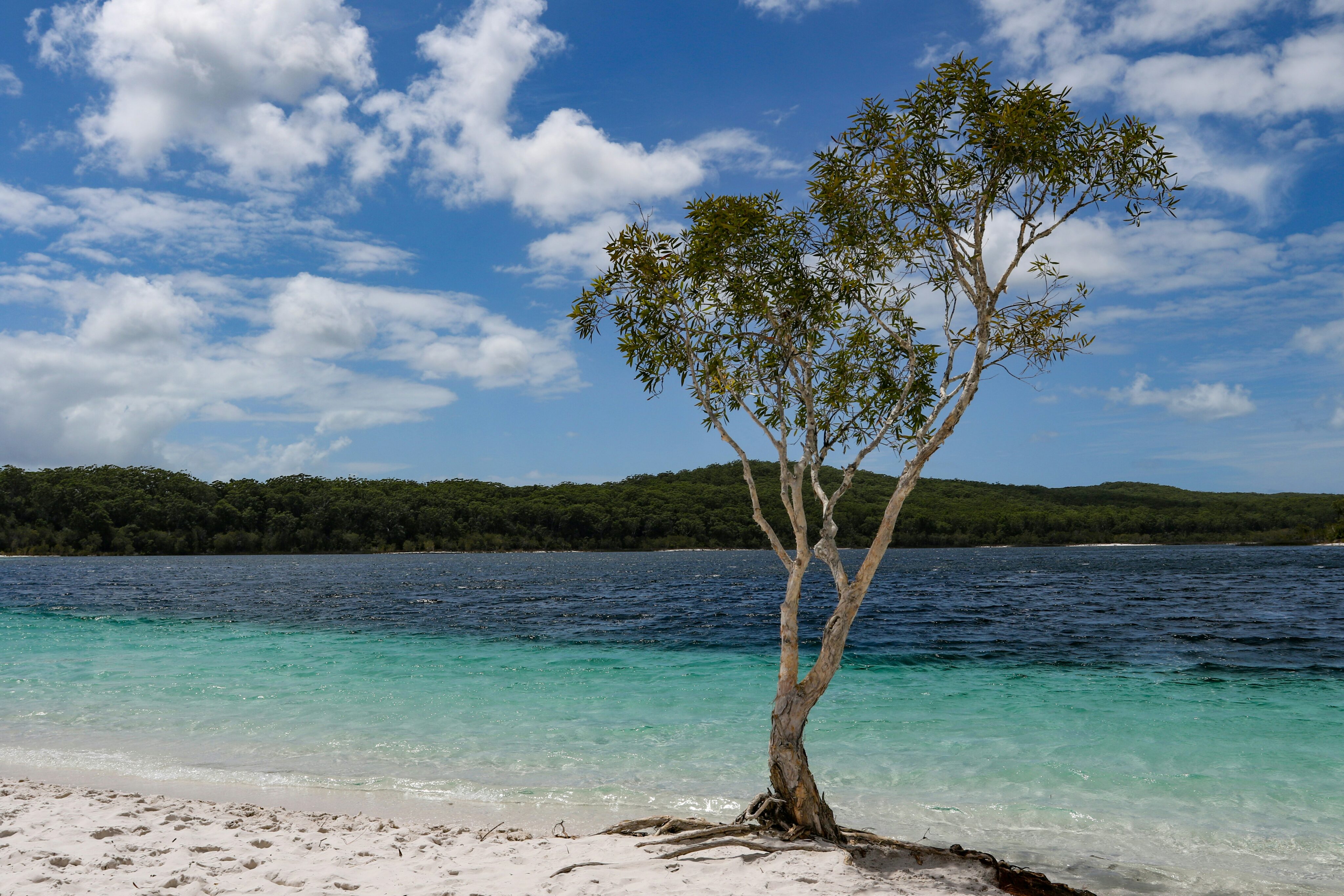
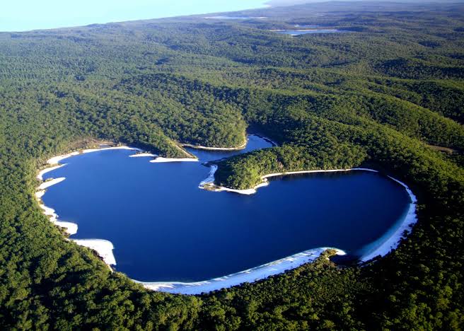
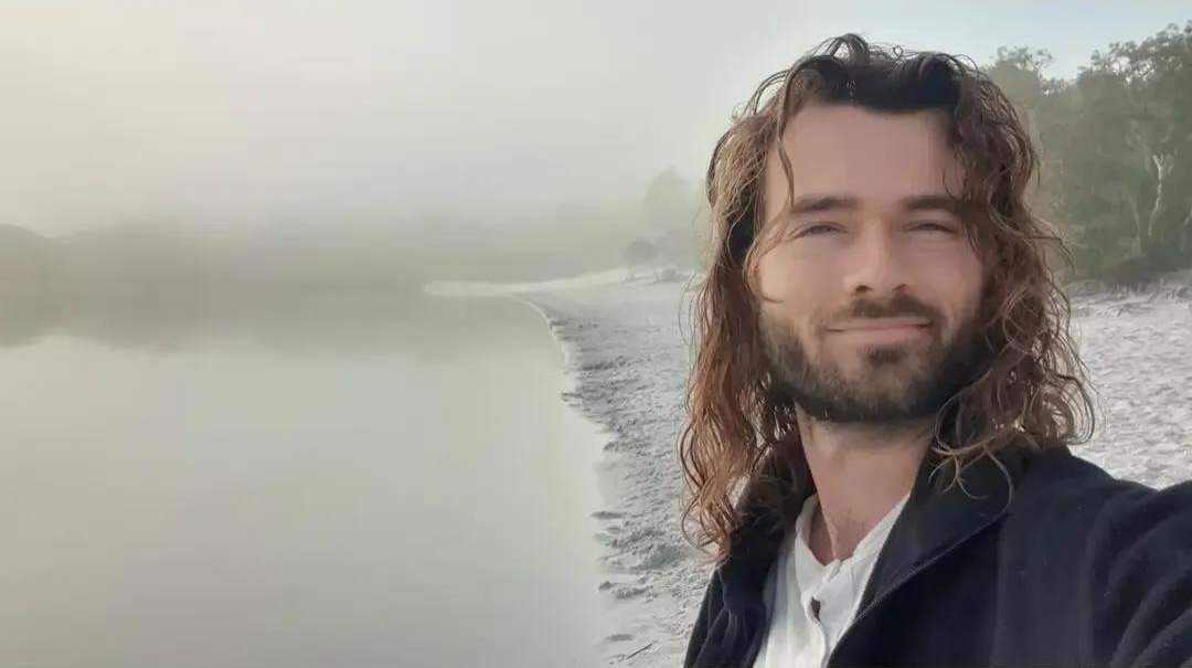
This first day of walking immerses me in the peaceful but wild lands of southern Queensland.
DAY 2 – 12km:
From Lake McKenzie to
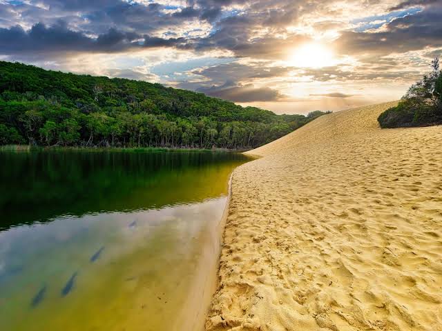
Lake Wabby
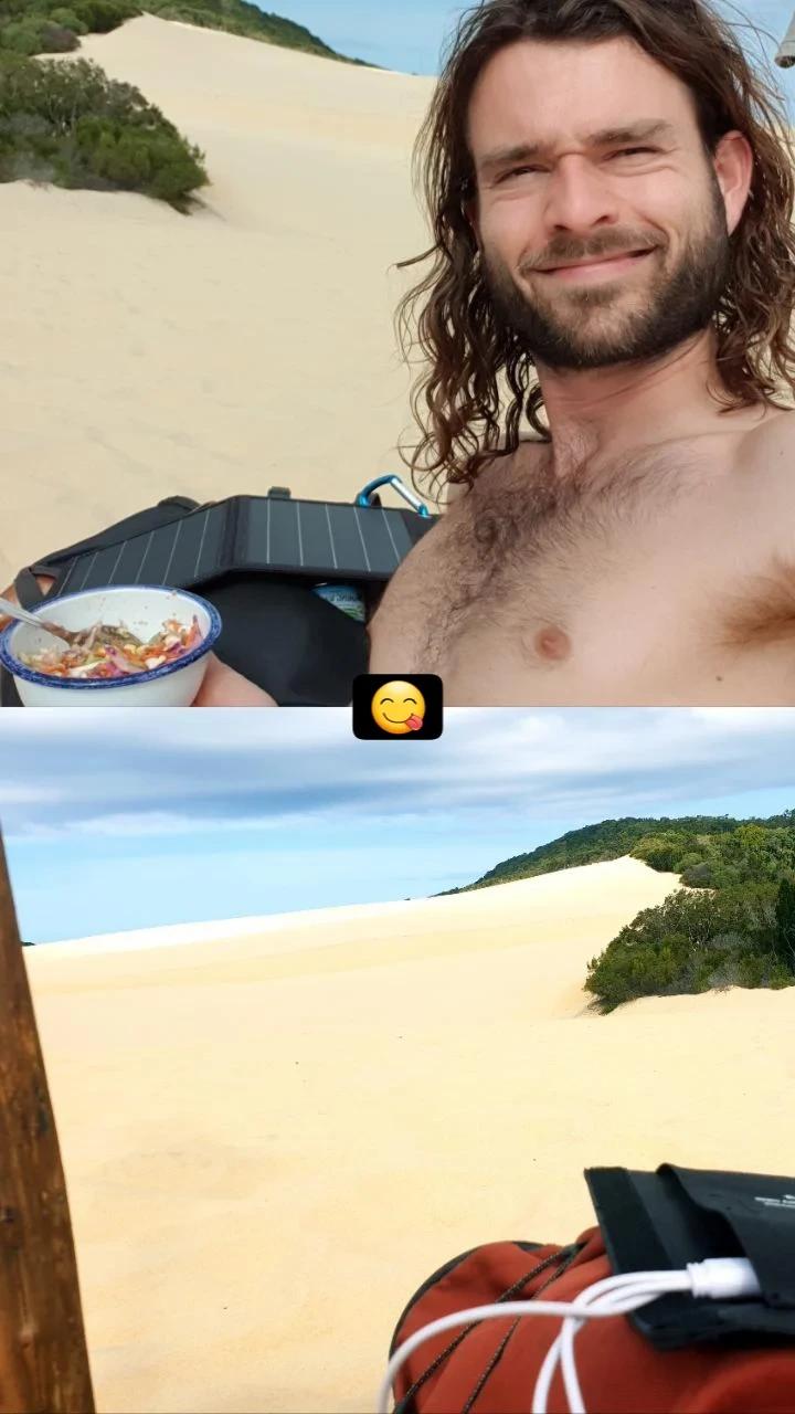
On my way I meet a group of walkers. In the evening I meet them at the camp and get invited to their birthday party. Champagnes, aperitifs, cakes they are delivered by boat a whole supply while I eat tuna in a box for 2 days.
I ended up offering them some local herbs from the hippie regions of the Northern Rivers as a thank you. At the end of the evening we find ourselves dancing together to the sound of the barking of Dingos and other creatures hungry for our feast. Rumbles get louder and louder during the night. We must not give them anything to eat at the risk of making them aggressive.

DAY 3 – 12km: Back to Lake McKenzie
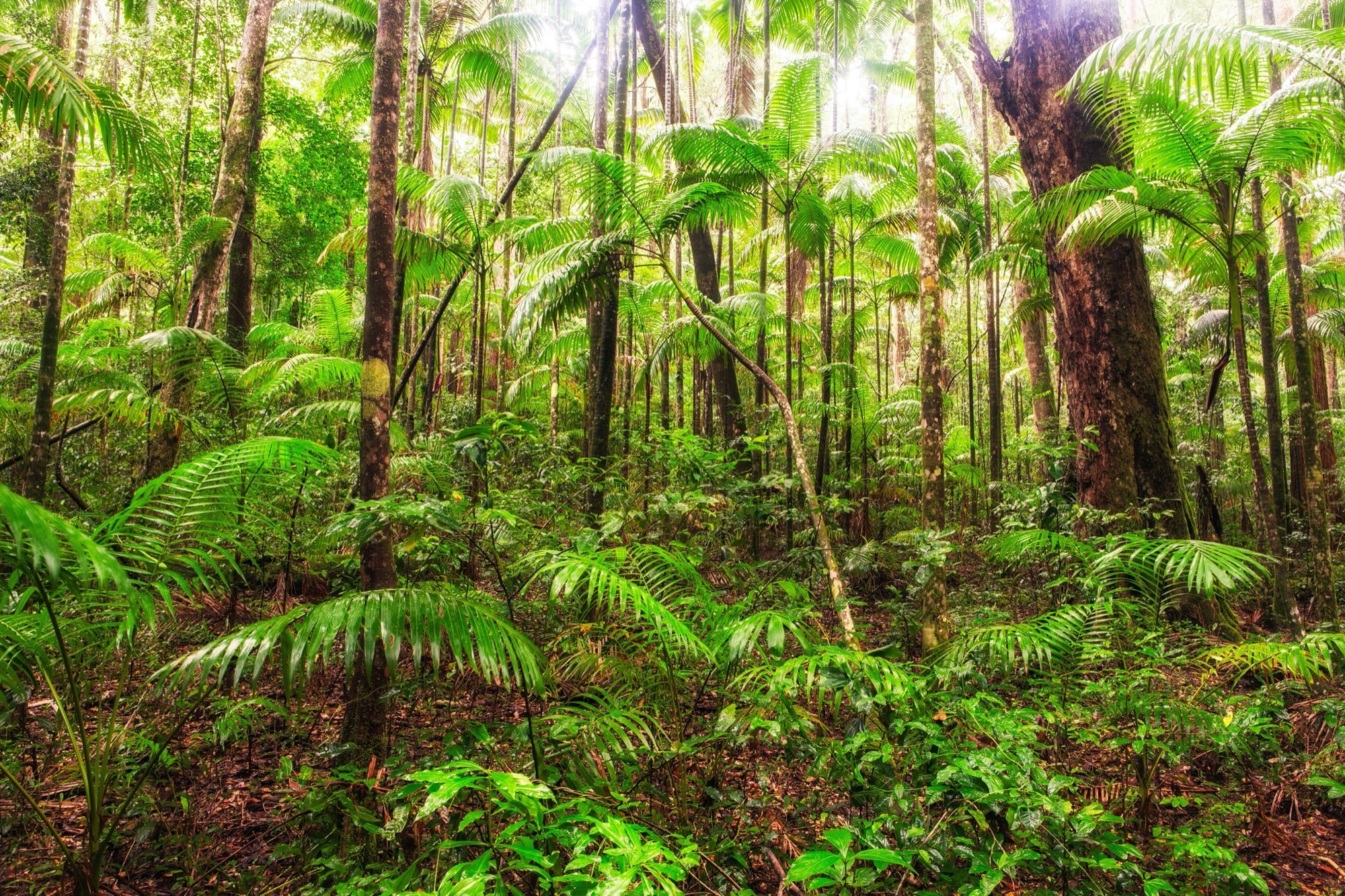
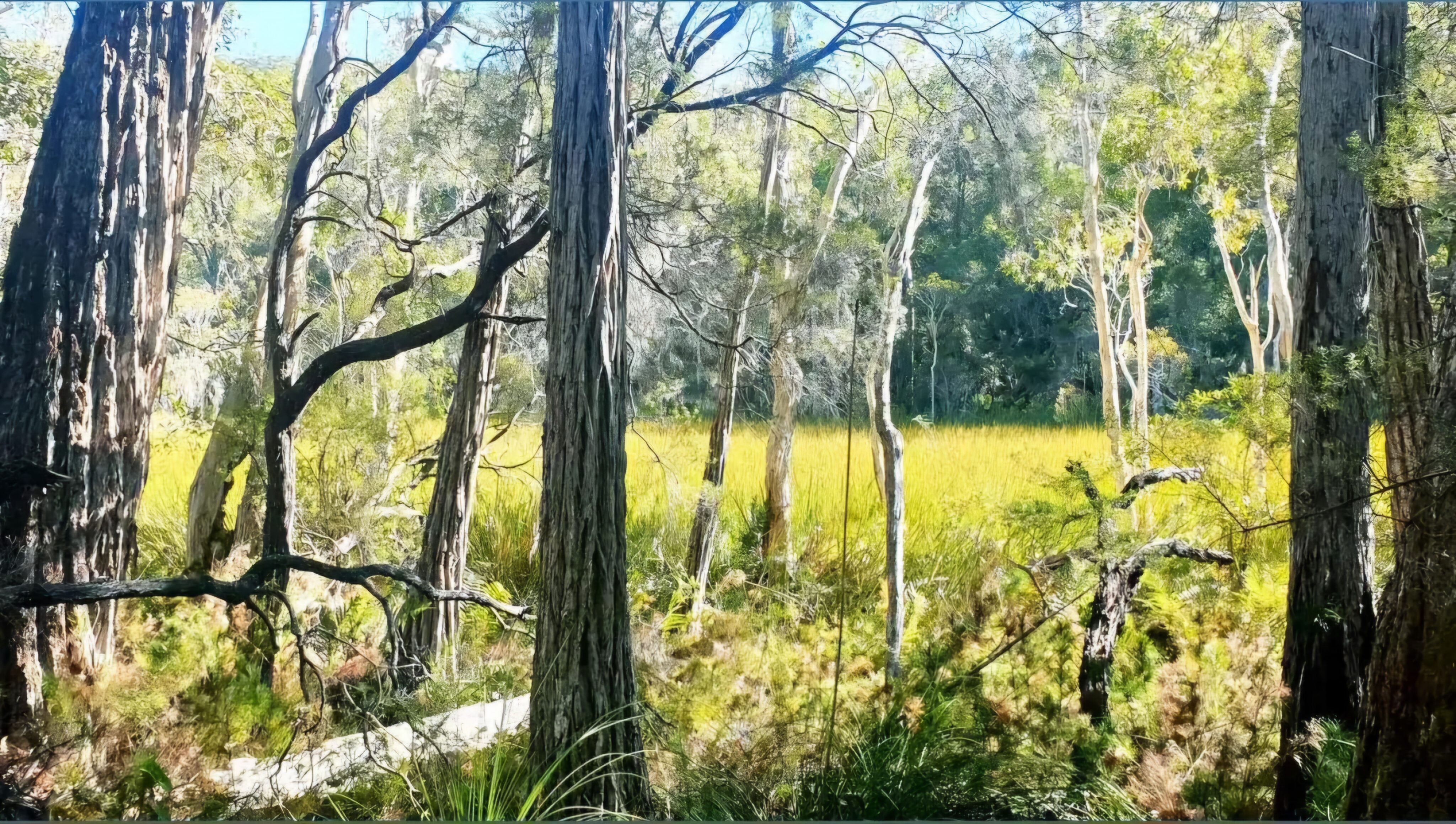
The majority of the island’s land is covered with grasses, bushes, eucalyptus and acacias. There are also palm trees, huge kauri and prehistoric ferns that form this dense and humid vegetation. The island’s rainforest is also the only one in the world that grows on the sand.
DAY 4 – 15km:
Lake McKenzie -> Jetty point -> Kingfisher bay
See you soon for new adventures!
Maps and resources of the island:https://parks.desi.qld.gov.au/parks/kgari-fraser/maps-resources
Other cards:
https://gisservices.information.qld.gov.au/arcgis/rest/directories/historicalscans/rec_scans/regional-map-fraser-island-ed-12-back-2009.pdf


